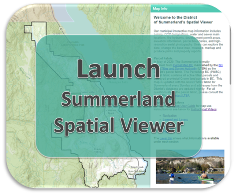
Summerland Spatial Viewer
This interactive web mapping application includes zoning and OCP designations, development permit areas, water and wastewater infrastructure, fire hydrants, elevation information, parcel boundaries, high-resolution aerial photography and more. Users can explore the data, change the basemap, measure, markup, filter and produce prints along with property reports.
Highlights of this system include:
By using this mapping system, you agree to the Terms of Use and acknowledge the Disclaimer.

The map user guide and the instruction videos are provided and a full list of the information available in this application is compiled in the layer list.